The courses are designed and developed by practicing professionals and customized to meet the requirements of the industry.
Land Survey Course Contents:
-
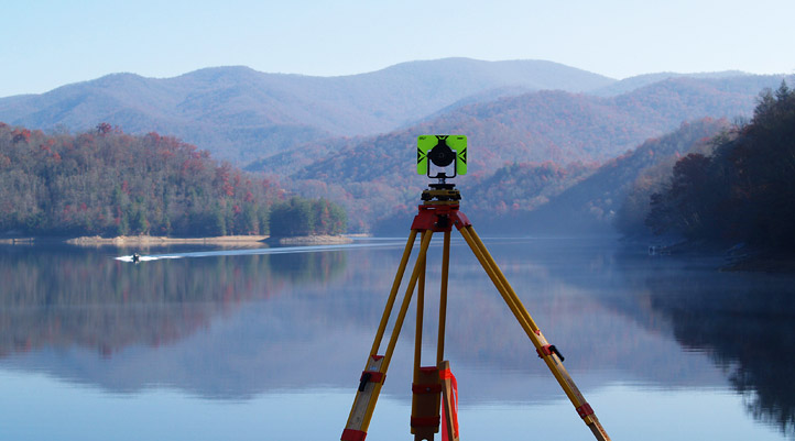
Introduction Of Land Survey
-
Level
-
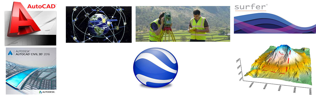
Total Station
-
GPS
-
Auto Cad
-
Civil 3D
-
Surfer
-
GPS Vitality
-
Google Earth
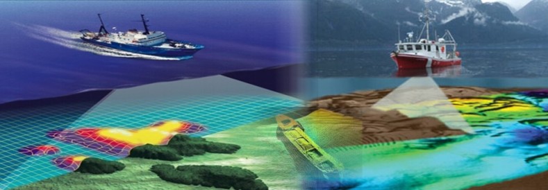
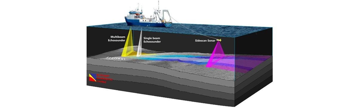
Hydrographic Survey Contents:
-
Introduction Of Hydrographic Survey
-
Geodesy In Egypt
-
Surface Positioning (DGPS)
-
Tide
-
Survey Equipment
-
Navipac Prog. (On‐Line Survey)
-
Data Processing (Off‐Line Survey)
-
Charts
Subscribe to the newslatter |
Follow oxy dive on social media channels |